All India Weather Forecast for September 14, 2021
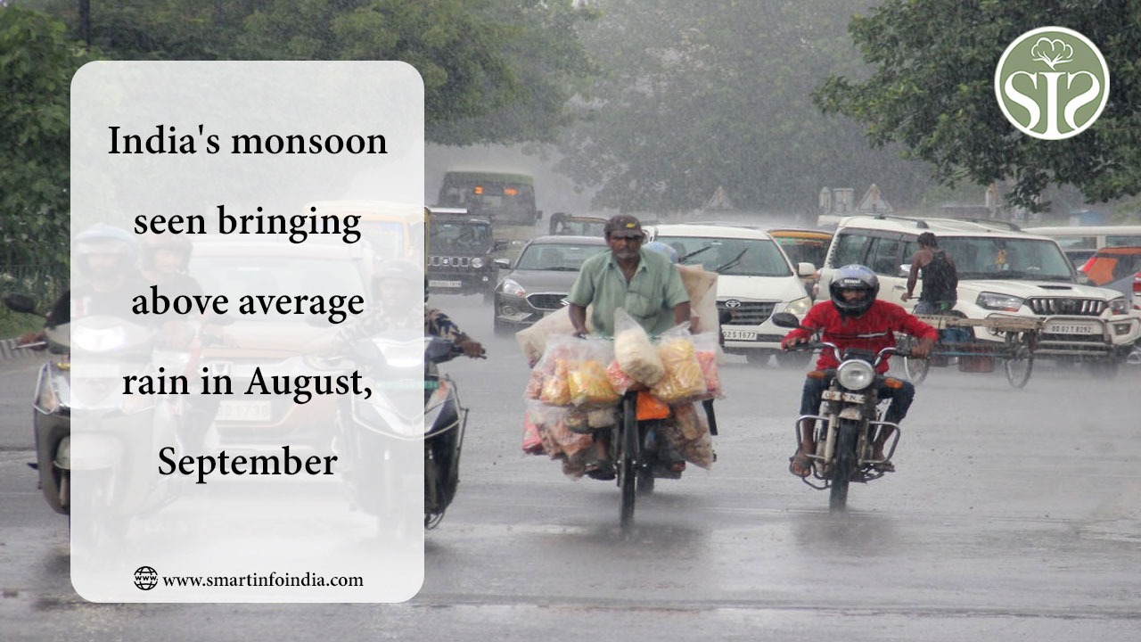
All India Weather Forecast for September 14, 2021Countrywide weather systemsA Deep Depression has formed over Northwest Bay of Bengal and adjoining Odisha coast and was near 20.5 degree north latitude and 86.9 east longitude at 5:30 pm today.It is very likely to move west-northwestwards from Odisha and Chhattisgarh towards Madhya Pradesh during next 48 hours. And tomorrow by September 14, weakening can turn into a depression. The low pressure area is now over South Gujarat region and the associated cyclonic circulation is extending up to 5.8 km above mean sea level and is moving towards southwest with elevation. A trough extends from a cyclonic circulation associated with a low pressure area over Gujarat to a deep depression over Odisha coast passing through Gujarat, Madhya Pradesh and Chhattisgarh.Weather movement across the country during the last 24 hoursDuring the last 24 hours, Monsoon was vigorous over Odisha and Odisha received one or two heavy spells of rain with moderate to heavy rains. Active Monsoon conditions were observed over Gujarat and Konkan and Goa as these areas received light to moderate rains with some heavy to very heavy rains. Light to moderate rain occurred at isolated places over Kerala, Coastal Karnataka, South Interior Karnataka, South-East Madhya Pradesh, Vidarbha and Jammu and Kashmir and Himachal Pradesh. Light to moderate rain occurred over Chhattisgarh, Punjab, Haryana, Rajasthan, remaining parts of Madhya Pradesh, Bihar, Jharkhand, parts of Uttar Pradesh, Chhattisgarh, Gangetic West Bengal, Andaman and Nicobar Islands and Coastal Andhra Pradesh. Light rain occurred over western parts of Rajasthan, Uttarakhand, Delhi, Madhya Maharashtra, Marathwada, Telangana, Sub-Himalayan West Bengal, Sikkim, Northeast India and isolaसम्पूर्ण भारत का सितम्बर 14, 2021 का मौसम पूर्वानुमानदेश भर में बने मौसमी सिस्टमबंगाल की उत्तर पश्चिमी खाड़ी और उससे सटे ओडिशा तट पर डीप डिप्रेशन बन गया है और आज 5:30 बजे यह 20.5 डिग्री उत्तर अक्षांश और 86.9 पूर्व देशांतर के करीब था।अगले 48 घंटों के दौरान इसके पश्चिम उत्तर-पश्चिम दिशा में ओडिशा और छत्तीसगढ़ से मध्य प्रदेश की ओर बढ़ने की उम्मीद है। और कल 14 सितंबर तक कमजोर होकर डिप्रेशन में बदल सकता है। कम दबाव का क्षेत्र अब दक्षिण गुजरात क्षेत्र के ऊपर है और संबंधित चक्रवाती परिसंचरण औसत समुद्र तल से 5.8 किमी ऊपर तक फैला हुआ है और ऊंचाई के साथ दक्षिण-पश्चिम की ओर झुक रहा है। एक ट्रफ रेखा गुजरात के ऊपर कम दबाव के क्षेत्र से जुड़े चक्रवाती परिसंचरण से लेकर गुजरात, मध्य प्रदेश और छत्तीसगढ़ से गुजरते हुए ओडिशा तट पर गहरे दबाव से जुड़े चक्रवाती परिसंचरण तक फैली हुई है।पिछले 24 घंटों के दौरान देश भर में हुई मौसमी हलचलपिछले 24 घंटों के दौरान, ओडिशा में मॉनसून जोरदार था और ओडिशा में मध्यम से भारी बारिश के साथ एक या दो बार भारी बारिश हुई। गुजरात और कोंकण और गोवा में सक्रिय मॉनसून की स्थिति देखी गई क्योंकि इन क्षेत्रों में हल्की से मध्यम बारिश हुई और कुछ भारी से बहुत भारी बारिश हुई। केरल, तटीय कर्नाटक, दक्षिण आंतरिक कर्नाटक, दक्षिण-पूर्व मध्य प्रदेश, विदर्भ और जम्मू-कश्मीर और हिमाचल प्रदेश के अलग-अलग हिस्सों में हल्की से मध्यम बारिश के साथ कुछ स्थानों पर भारी बारिश हुई। छत्तीसगढ़ पंजाब, हरियाणा, राजस्थान, मध्य प्रदेश के शेष हिस्से, बिहार, झारखंड, उत्तर प्रदेश के कुछ हिस्सों, छत्तीसगढ़, गंगीय पश्चिम बंगाल, अंडमान और निकोबार द्वीप समूह और तटीय आंध्र प्रदेश में हल्की से मध्यम बारिश हुई। राजस्थान के पश्चिमी हिस्सों, उत्तराखंड, दिल्ली, मध्य महाराष्ट्र, मराठवाड़ा, तेलंगाना, उप-हिमालयी पश्चिम बंगाल, सिक्किम, पूर्वोत्तर भारत और तमिलनाडु और लक्षद्वीप के अलग-अलग हिस्सों में हल्की बारिश हुई।अगले 24 घंटों के दौरान मौसम की संभावित गतिविधिअगले 24 घंटों के दौरान, ओडिशा और पूर्वी गुजरात के कुछ हिस्सों में मध्यम से भारी बारिश के साथ एक दो स्थानों पर अति भारी बारिश की संभावना है छत्तीसगढ़, मध्य प्रदेश, सौराष्ट्र और कच्छ, दक्षिण-पूर्वी राजस्थान, अंडमान और निकोबार द्वीप समूह, अलग-अलग हिस्सों विदर्भ और कोंकण और गोवा के कुछ हिस्सों में हल्की से मध्यम बारिश के साथ एक दो स्थानों पर भारी बारिश हो सकती है। पश्चिम बंगाल, झारखंड के कुछ हिस्सों, बिहार, हरियाणा, हिमाचल प्रदेश, उत्तराखंड, जम्मू-कश्मीर, तटीय कर्नाटक, केरल, मराठवाड़ा, पूर्वी राजस्थान और उत्तर प्रदेश के कुछ हिस्सों में हल्की से मध्यम बारिश हो सकती है। पंजाब, दिल्ली, पूर्वोत्तर भारत, तेलंगाना के सिक्किम भागों, आंध्र प्रदेश, लक्षद्वीप और तमिलनाडु के अलग-अलग हिस्सों और आंतरिक कर्नाटक में हल्की बारिश हो सकती है।All India Weather Forecast for September 14, 2021Countrywide weather systemsA Deep Depression has formed over Northwest Bay of Bengal and adjoining Odisha coast and was near 20.5 degree north latitude and 86.9 east longitude at 5:30 pm today.It is very likely to move west-northwestwards from Odisha and Chhattisgarh towards Madhya Pradesh during next 48 hours. And tomorrow by September 14, weakening can turn into a depression. The low pressure area is now over South Gujarat region and the associated cyclonic circulation is extending up to 5.8 km above mean sea level and is moving towards southwest with elevation. A trough extends from a cyclonic circulation associated with a low pressure area over Gujarat to a deep depression over Odisha coast passing through Gujarat, Madhya Pradesh and Chhattisgarh.Weather movement across the country during the last 24 hoursDuring the last 24 hours, Monsoon was vigorous over Odisha and Odisha received one or two heavy spells of rain with moderate to heavy rains. Active Monsoon conditions were observed over Gujarat and Konkan and Goa as these areas received light to moderate rains with some heavy to very heavy rains. Light to moderate rain occurred at isolated places over Kerala, Coastal Karnataka, South Interior Karnataka, South-East Madhya Pradesh, Vidarbha and Jammu and Kashmir and Himachal Pradesh. Light to moderate rain occurred over Chhattisgarh, Punjab, Haryana, Rajasthan, remaining parts of Madhya Pradesh, Bihar, Jharkhand, parts of Uttar Pradesh, Chhattisgarh, Gangetic West Bengal, Andaman and Nicobar Islands and Coastal Andhra Pradesh. Light rain occurred over western parts of Rajasthan, Uttarakhand, Delhi, Madhya Maharashtra, Marathwada, Telangana, Sub-Himalayan West Bengal, Sikkim, Northeast India and isolated parts of Tamil Nadu and Lakshadweep.Possible weather activity during next 24 hoursDuring the next 24 hours, very heavy to very heavy rain with isolated heavy falls very likely over parts of Odisha and East Gujarat Chhattisgarh, Madhya Pradesh, Saurashtra and Kutch, South-East Rajasthan, Andaman and Nicobar Islands, Light to moderate rain with isolated heavy falls at isolated parts of Vidarbha and Konkan and Goa may occur at one or two places. Light to moderate rain may occur over West Bengal, parts of Jharkhand, Bihar, Haryana, Himachal Pradesh, Uttarakhand, Jammu and Kashmir, Coastal Karnataka, Kerala, Marathwada, East Rajasthan and parts of Uttar Pradesh. Light rain is possible over Punjab, Delhi, Northeast India, Sikkim parts of Telangana, isolated parts of Andhra Pradesh, Lakshadweep and Tamil Nadu and Interior Karnataka.ted parts of Tamil Nadu and Lakshadweep.Possible weather activity during next 24 hoursDuring the next 24 hours, very heavy to very heavy rain with isolated heavy falls very likely over parts of Odisha and East Gujarat Chhattisgarh, Madhya Pradesh, Saurashtra and Kutch, South-East Rajasthan, Andaman and Nicobar Islands, Light to moderate rain with isolated heavy falls at isolated parts of Vidarbha and Konkan and Goa may occur at one or two places. Light to moderate rain may occur over West Bengal, parts of Jharkhand, Bihar, Haryana, Himachal Pradesh, Uttarakhand, Jammu and Kashmir, Coastal Karnataka, Kerala, Marathwada, East Rajasthan and parts of Uttar Pradesh. Light rain is possible over Punjab, Delhi, Northeast India, Sikkim parts of Telangana, isolated parts of Andhra Pradesh, Lakshadweep and Tamil Nadu and Interior Karnataka.